Course
Deep in the Pines!


Wind: 2mph NW
Humidity: 67%
Pressure: 29.96"Hg
UV index: 0
46°F
43°F
43°F
41°F
2026 Pinelands Gravel: ¡Ay Carranza! Courses
The courses start and finish at the Pinelands Preservation Alliance and travel through the Pine Barrens of Burlington County. The unpaved sections include dirt, gravel and quite a few sand roads. There are short water crossings in the Atlantic White Cedar Preserve, by the abandoned Reeves Cranberry Bogs.
New for 2026: We are adding an X-Short and X-Long courses.
The X-Long Course is 85 miles long with 1200’ of climbing (according to RideWithGPS). The course has ca 34.3 miles of sand/gravel/dirt roads (41%), with some technical sections.
The Long Course is 78 miles long with 1100’ of climbing (according to RideWithGPS). The course has ca 31 miles of sand/gravel/dirt roads (40%), with some technical sections.
The Medium Course, is 64 miles long with 900’ of climbing (according to RideWithGPS). The course has ca 24 miles of sand/gravel/dirt roads (38% of the course), including some technical sections.
The Short Course, is 55 miles long with 50′ of climbing (according to RideWithGPS). The course has ca 20 miles of sand/gravel/dirt roads (36% of the course), including some technical sections.
The X-Short Course, is 23 miles long with 275′ of climbing (according to RideWithGPS). The course has ca 4.8 miles of sand/gravel/dirt roads (21% of the course). This new route offers a taste of the gravel/sand roads in the area. It departs PPA in a different direction than the other routes, and has riders travel on paved roads for 8 miles, before hitting the first unpaved section, where it starts to trace the other routes as they return to PPA.
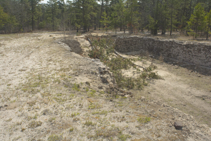
The courses are subject to change at any time. They go past many hidden gems of the Pine Barrens, including including State Forests (mile after mile of dense Pine Forests), Nature Preserves, Cranberry Bogs, Blueberry Farms, a Famous Company Town, Famous Trails, Ghost Towns, Ruins, Lakes & Ponds, and the X-Long and Long courses pass the Carranza Memorial.
Please note that a 1 mile section of the 55, 64, 78, and 85-mile courses have overlap with an Equestrian Event this year; the 85 mile course has an additional 3.3 miles of overlap, but the events are going in the opposite direction. We’ve developed plans with the organizers of that event to allow everyone to enjoy their rides through the forest while promoting safety and cooperation.
The courses will not be marked (except in a few confusing areas, where clarification arrows will be placed) but we will provide cue sheets, GPS Files, and complimentary access to the Ride With GPS App.
There will be 2 aid stations on the Medium, Long & X-Long Courses, 1 on the Short Course and none on the X-Short Course, There will be SAG and Technical Support.
The Sugar Sand (a local term for the sand in the Pine Barrens) can be hard packed or quite loose, thus the unpaved roads of the courses can change a lot based upon season, temperature and recent weather; it is not uncommon for them to change bay-by-day. We recommend a minimum tire size of 35mm (wider is better, and use of off-road pedals, in case any walking or portaging is required. Gravel or Cyclocross bikes will be best suited for the event.
Due to the lack of road signs (particularly on the secondary roads) and poor cell phone signal reliability, use of GPS (downloaded and saved to your device in advance for off-line use) is essential.
This is a ride, and not a race, and the roads are open to normal vehicular traffic, so you are required to obey all rules of the road. All participants must announce themselves to the equestrians and to follow their instructions, so you can pass when safe. The equestrian event will have spotters at the beginning and end of the ca 1/2 mile overlap section, as well as caution signs. The X-Long course has additional overlap, but the 2 events will be travelling in the opposite direction.
Riders will start in an “At Will” manner; you choose your start time within the designated time periods.